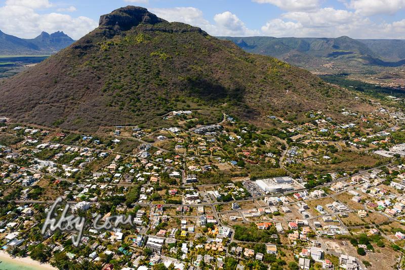
Location
Tamarin mountain is on the west coast, and is accessible by public transport. The start of the path is near a residential area, some distance away from public transport routes, so a private car is ideally required.
NOTE: You need to cross a (broken) fence to join the path behind the water storage tank. Crossing a fence might be construed as trespassing! Choose your day/time wisely and don't turn up by the bus load. Finding the route 'on the internet' is unlikely to be a valid excuse if challenged. Discretion is key!
Description
- Make your way to the Black Rock reservoir.
- When you enter the reservoir area, there is a gate on the left into the reservoir tank, and another straight ahead marked 'Private'. Follow the ramp between these gates to your left and make your way to the top of the terraced stone wall used to prevent soil erosion. Use whichever (keeping to the left is easiest) path you prefer to make your way to the top of the last row of the stoned terraced wall, whilst keeping the left.
- At the rear of the terraced area, there is a fence where parts have long been flattened, cross it and immediately turn left to join the rocky path. Be careful of wires across the initial part of the path, used to prop up the fence.
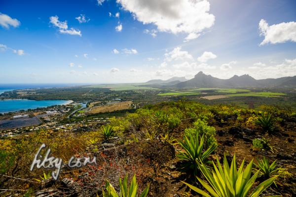
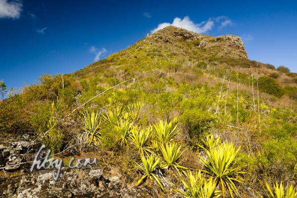
- Follow the GPS trail to the summit - the trail is clear and easy enough to follow. Keep to the footpath and do not join the un-tarred road/firebreak later on.
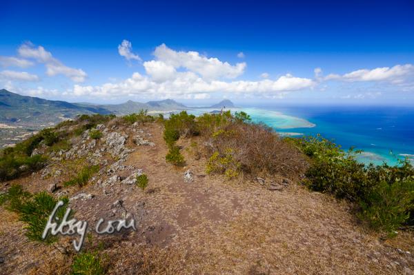
- Follow exactly the same route down - do not follow the path North along the fence, as you will end up on, presumably, private land - if you aren't already.
- And similarly, it would be unwise to follow the path down from the south of the summit as you are likely to encounter a fence, gate or both.
- There are no technically difficult parts to the ascent, but since it is a little long and exposed to the sun, it is physically, relatively tiring.