Note:
This is quite a rough and overgrown track, the path visibility varies from invisible to tough bush-bashing. You should ideally attempt the East Peak of Deux Mamelles and leaving this peak for later on.
Description:
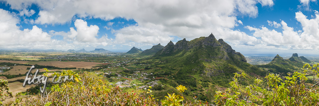
- Make your way to the starting point at the cane track just off the road from St Pierre to Nouvelle Decouverte. See the track to the east peak for the exact location.
- Leave the main road onto the cane track and follow it straight across the bridge over a small stream. You should look for a space just before the bridge to leave your transport or if you have a suitable vehicle, continue on the track uphill and leave it just before the start of the path into the undergrowth.
- Leave the cane track and enter the overgrown path which is initially quite broad.
- Pay attention to the gps track as you will need to leave this path and enter the overgrown vegetation to the right.
- Make your way as best you can in the undergrowth, and as you move up the mountain slope, you will find remains of a path in places. The track here, although short, can be difficult to make headway through in places. Keep moving forward as best you can and you will make progress, albeit slowly.
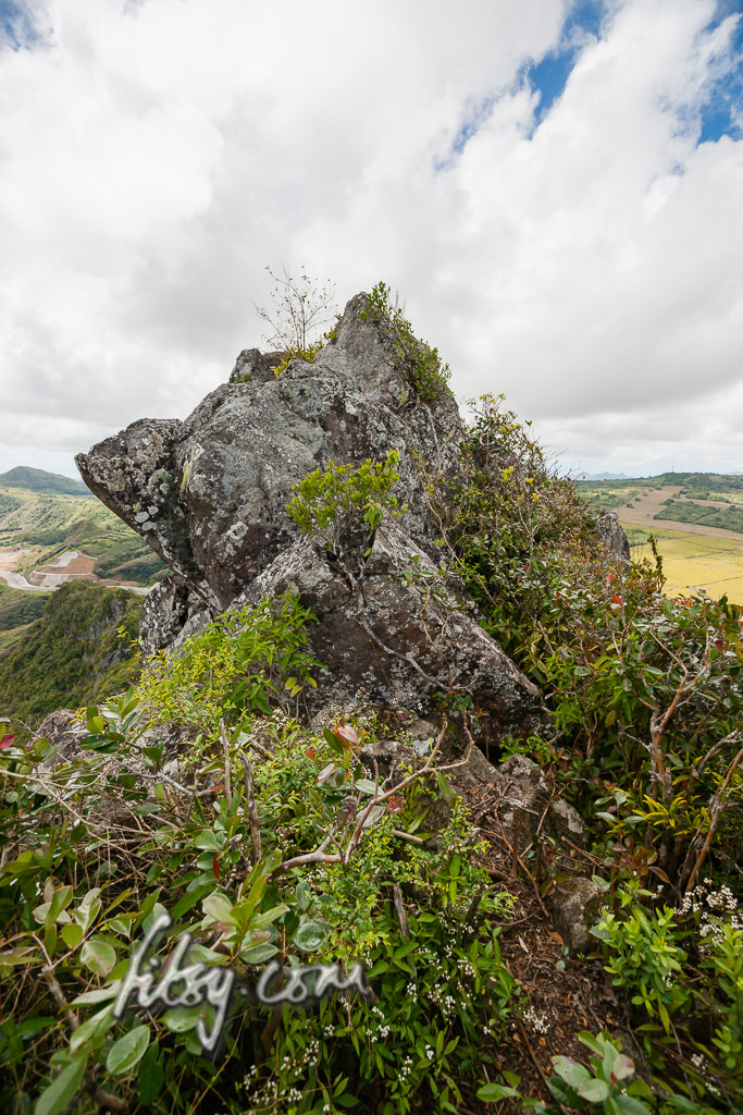
- As you approach the summit, the ground gets rocky and you will emerge on a relatively flat summit with a clear path just under a large boulder forming the summit of the mountain.
- Take exactly the same way down as you came up !.