• Home
  • Mauritius Hiking routes
  • Contact
  • You are here:  
  • Home

Le Chat et la Souris

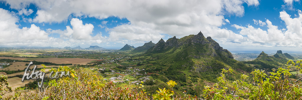
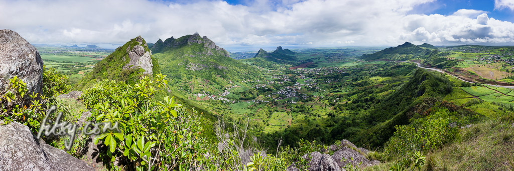
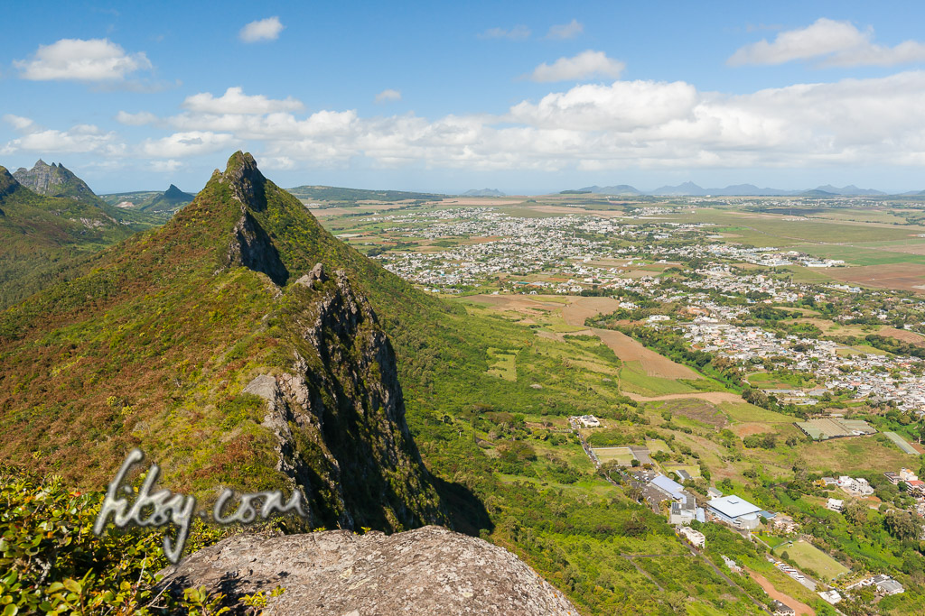
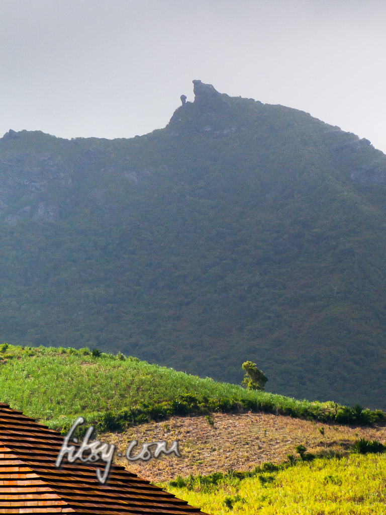
The name of the mountain, Le Chat et la Souris, translates to 'The cat and the mouse', due to the appearance of the rocky summit when viewed from the south, resembling a cat looking down onto a small mouse.


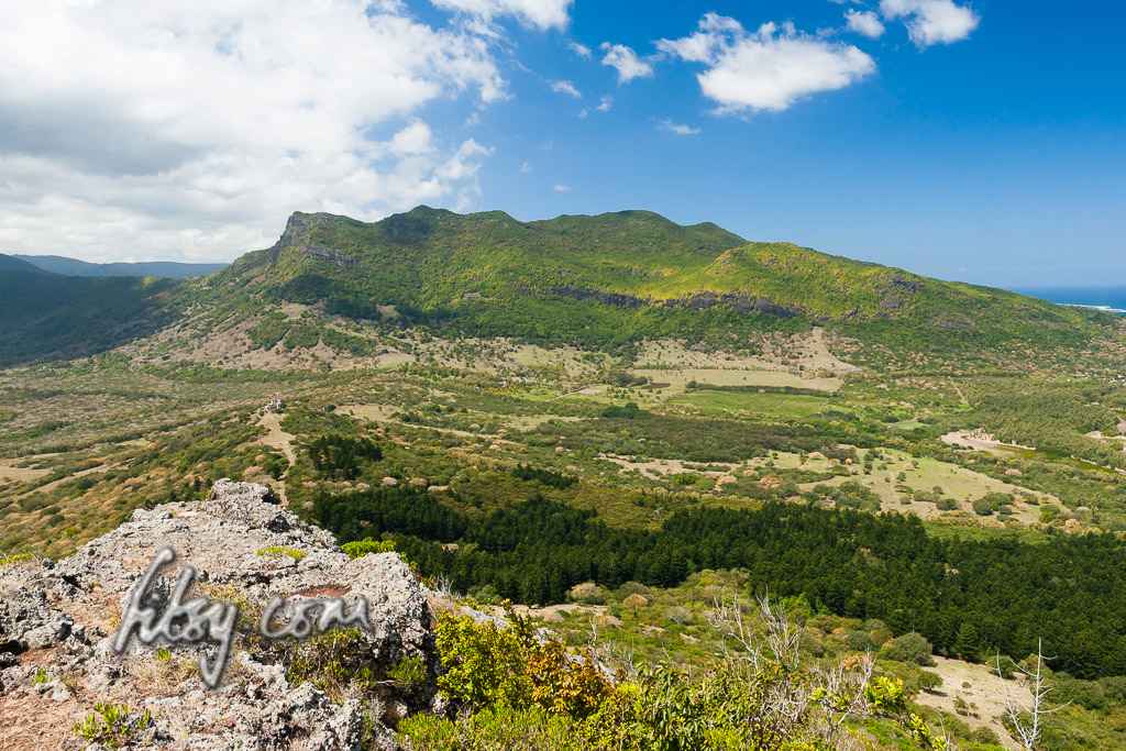
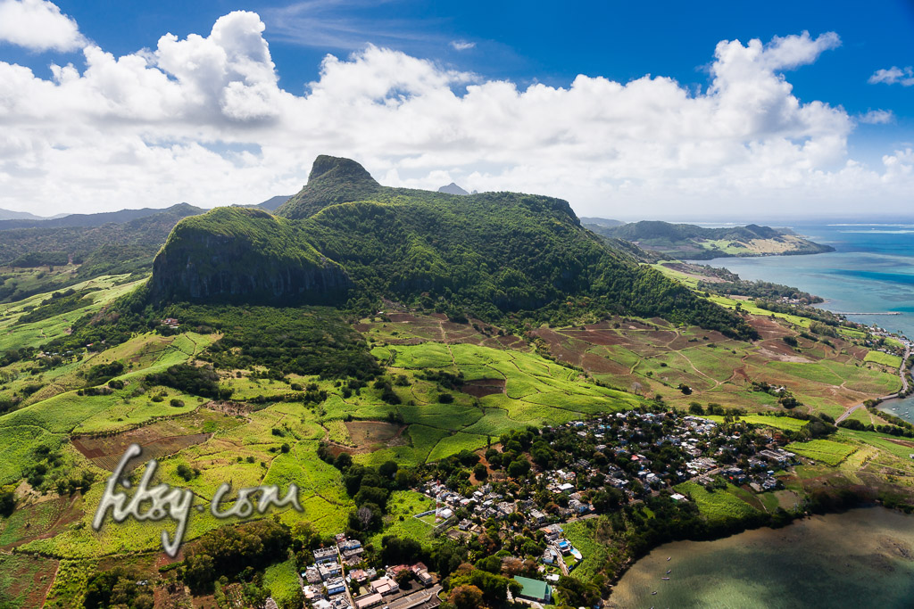
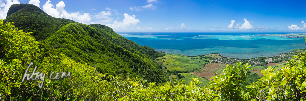
This mountain is not particularly high, with views very similar to its taller neighbour Bambous mountain, but is less streneous to reach the summit though the round trip route described here is a little lengthy. This is an overall enjoyable hike with no technical difficulties, though those wishing to climb to the top of the cat's head might find the space available a little small.

Read more: Le Chat et la Souris

Deux Mamelles mountain (West Peak)

Note:

This is quite a rough and overgrown track, the path visibility varies from invisible to tough bush-bashing. You should ideally attempt the East Peak of Deux Mamelles and leaving this peak for later on.


Read more: Deux Mamelles mountain (West Peak)

Deux Mamelles mountain (East Peak)


View from summit of Deux Mamelles mountain


Many thanks to Sebastian for providing the description and gps track log for this hiking route which I followed recently.

Deux Mamelles mountain is an isolated peak between the villages of St Pierre and Nouvelle Decouverte. As its name implies, the mountain consists of two peaks, both of which can be climbed relatively easily. Since there are no difficult parts, it is suitable for all ages.

Location

Deux Mamelles mountain is in the centre of the island, not too far from Pieter Both mountain in the district of Moka. Since this is a generally short hike, for the motivated hiker, it might be worth combining both the East and West peaks in the same outing or combining it with Mt Calebasses a little to the East near the village of Nouvelle Decouverte. This description covers the hike to the East Peak. On the map below, you will also find the track to the western peak which you can choose to follow.

Read more: Deux Mamelles mountain (East Peak)

Montagne La Porte and Piton du Fouge


La Porte mountain and Piton du Fouge are two peaks on the Southern end of the mountain range to the West of Chamarel. They are not particularly high, but offer nice views over the peninsula of Le Morne.

Thanks to Sebastian for originally finding the route from Coteau Raffin village. This is a slight modification to his route as I didn't take the path on the outside of the fence which looked like too much effort.

Read more: Montagne La Porte and Piton du Fouge

The Moka Range (Junction/Berthelot peaks)


EDIT APR 2017: Pascal found a much simpler and safer way to the summit of Junction peak. Given that his route is much easier and accessible, I would recommend any potential hikers attempting Junction peak to take his route.

The previous route described here has been removed.


Read more: The Moka Range (Junction/Berthelot peaks)

Intro & some background information

The Old Testament

"The appearance of some [mountains] have, indeed, conjured up in the minds of some viewers a strange assortment of embroidered phrases and phantasies about their supposed origins and their imaginary sculptors. There are many, of course, which challenge man to climb and tempt him to rest awhile on their wind-swept summits."

L. F. Edgerley. Preface to "Mountains of Mauritius A Climber's Guide. Robert V.R.Marsh" c. 1975


So, if you're heading to Mauritius or have been there previously, those little peaks dotted around the island have probably caught your attention.

But knowing where to start, or even trying to find information can be a frustrating experience, but thanks to the modern day GPS - this is now a lot easier.

Read more: Intro & some background information

Lion Mountain


Lion Mountain is a moderate climb with a couple of hurdles along the route but which can be accomplished by any agile adult or teenager. The location provides some great views over the bay of Mahebourg, the lagoons of the south east coast and inland over the landscape of the Bamboo mountain range.


Location

Lion mountain is located in the South East of Mauritius, overlooking Grand Port and the bay of Mahebourg.
The starting point of the route is at the Police station of Grand Port on the coastal road. There is a road aptly called Lion Mountain Road adjacent to the Police station, off the main coastal road.
The area is served by buses travelling from Mahebourg to towns in the eastern region of Mauritius such as Flacq and Bel Air.
The track starts from the Police station along Lion Mountain Road, past some houses until you reach sugar cane fields. You may leave your transport in the clearing at the end of the tarred road just as you enter the sugar cane fields but avoid blocking the road to large agricultural vehicles which may be at work in the fields during the sugar cane harvest.

Read more: Lion Mountain

Page 3 of 4

  • Start
  • Prev
  • 1
  • 2
  • 3
  • 4
  • Next
  • End
fitsy.com
Back to Top