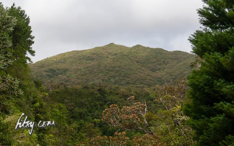
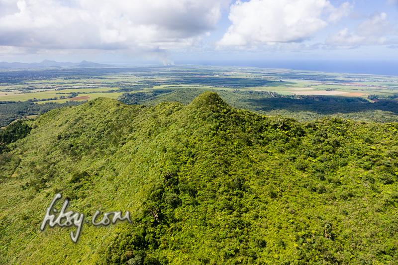
Mount Cocotte is located on the southern highlands of Mauritius, and along with it's neighbour Piton Savanne, are the only two mountains offering views over the south of the Island.
The hike is relatively easy, but is overgrown, wet and muddy in places.
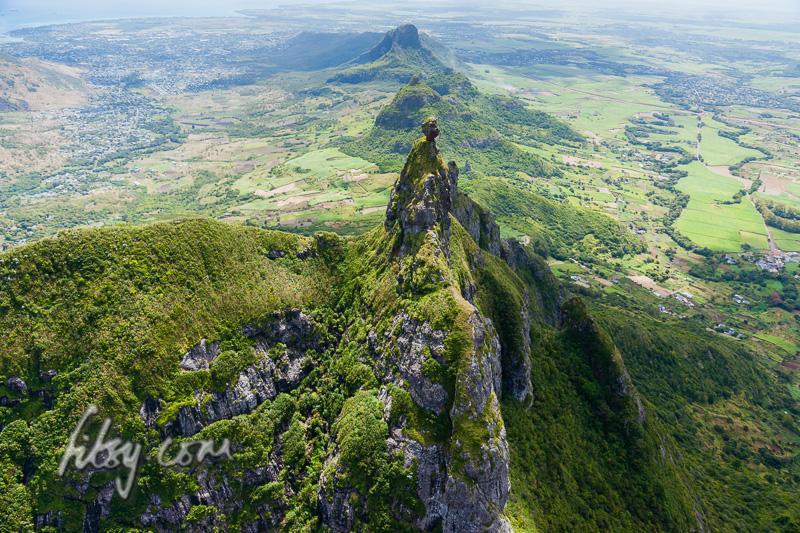
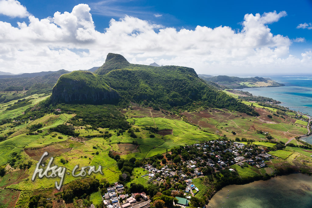
The mountain of Pieter Both has an interesting shape, with a large boulder balanced on a slender peak. This mountain is one of the most discerning features of the Mauritian landscape. The ascent of Pieter Both can be described as being in two stages, the first involves reaching the so called shoulder and for those willing to continue, the second part involves ascending the slender peak and onto the boulder at the top of the mountain. Iron rungs were placed in the rock many years ago, but the condition of these rungs have deteriorated, making the final ascent unsafe without the help of ropes and rock climbing experience.
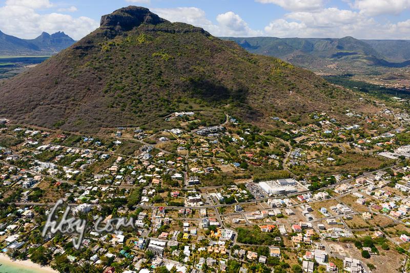
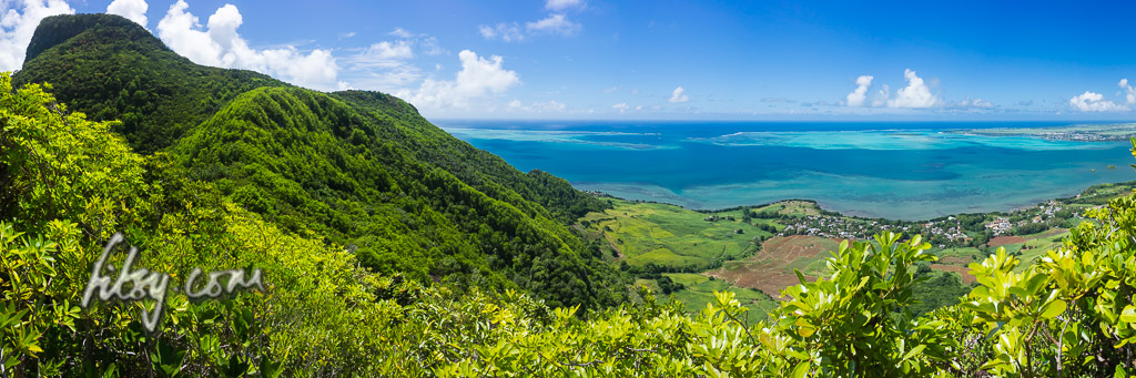
Tamarin mountain is on the west coast, and is accessible by public transport. The start of the path is near a residential area, some distance away from public transport routes, so a private car is ideally required.
NOTE: You need to cross a (broken) fence to join the path behind the water storage tank. Crossing a fence might be construed as trespassing! Choose your day/time wisely and don't turn up by the bus load. Finding the route 'on the internet' is unlikely to be a valid excuse if challenged. Discretion is key!
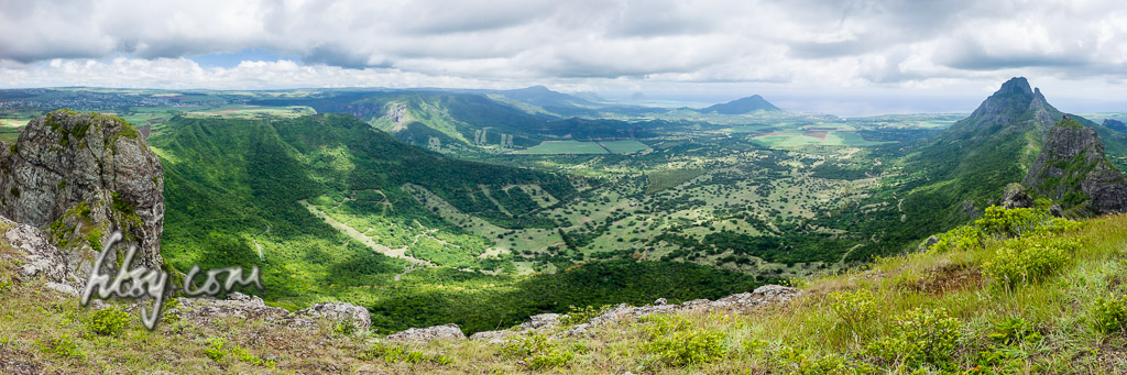
Les Trois Mamelles mountain is located in the west of Mauritius and forms part of an isolated range compromising of Mt Rempart to the West and Les Trois Mamelles to the East.
There are three peaks to this mountain and this route describes the path for the centre peak.
Note that this track has been described as "This is true grade II climbing in the alps"
Location
The location of the mountain is easily accessible from the centre of the island and is near to the central urban area of Quatre Bornes. You can easily get to Quatre Bornes by bus and change to buses serving the West and South West and stopping near Bassin Estate.
A saloon car will get you near to the starting point, but you would be advised to leave it further away as there are few parking spaces in the sugar cane fields, and your transport could cause an obstruction to lorries working in these fields.
Piton Savanne mountain offers some good views of the south coast of Mauritius, and although the track can be overgrown in places, is a very accessible route with no major obstacles on the way.
Location
Piton Savanne mountain is located in the south of the Island of Mauritius and along with its neighbour Mount Cocotte are the only mountains offering views over the southern tip of the island.
The route starts at a location just off the main road from the round-about at Les Marres towards the southern town of Chemin Grenier. The area is visible from the main road, as there is a clearing next to a large grey gate. There are no bus routes which serve this area, so a car is the only practical way of reaching this point.
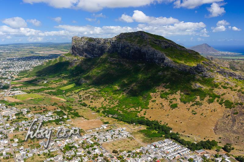
Lion Mountain is a moderate climb with a couple of hurdles along the route but which can be accomplished by any agile adult or teenager. The location provides some great views over the bay of Mahebourg, the lagoons of the south east coast and inland over the landscape of the Bamboo mountain range.
Location
Lion mountain is located in the South East of Mauritius, overlooking Grand Port and the bay of Mahebourg. The starting point of the route is at the Police station of Grand Port on the coastal road. There is a road aptly called Lion Mountain Road adjacent to the Police station, off the main coastal road. The area is served by buses travelling from Mahebourg to towns in the eastern region of Mauritius such as Flacq and Bel Air. The track starts from the Police station along Lion Mountain Road, past some houses until you reach sugar cane fields. You may leave your transport in the clearing at the end of the tarred road just as you enter the sugar cane fields but avoid blocking the road to large agricultural vehicles which may be at work in the fields during the sugar cane harvest.
Corps de Garde mountain is a can be a physically demanding climb, especially the first part up to the perched rock. But the views over the western coast all the way up to the north past Port Louis and the central plains of Mauritius, are very rewarding, and should hopefully serve as an incentive for you to try this route. The path is also exposed to the sun, due to the lack of tall trees along the route, so you should ideally start this route as early as possible in the morning.
Location
Corps de Garde mountain is located on the western side of central Mauritius near the towns of Rose Hill and Quatre Bornes. The part of Rose Hill which lies neareast to Corps de Garde is known as Stanley. There are no bus routes which pass near the start of the hiking route, located at the northern side of the mountain, so the only way to get to the starting position is by use of car or by walking from Stanley which you can reach by using buses which serve Stanley from Rose Hill bus station. The start of the path is by a clearing adjacent to the road. There is a bridge over a small stream passing under the road. Park your car in this clearing.